Hardware Update – Navvis VLX Mobile Mapping

Hardware Update – Navvis VLX Mobile Mapping

22 February 2022

Luminous have recently invested in the Latest NavVis VLX mobile mapping solution. The NavVis VLX allows rapid data capture across large sites.

VLX screen

All in one reality capture

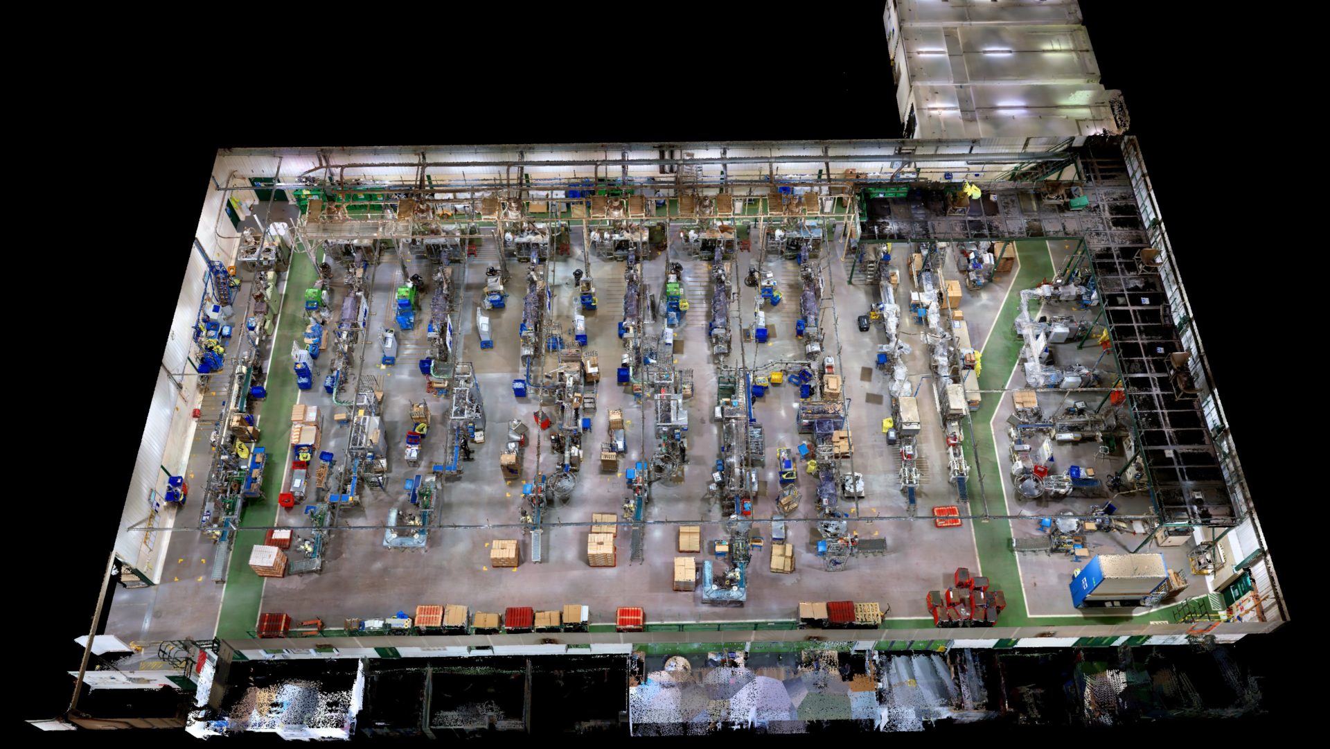
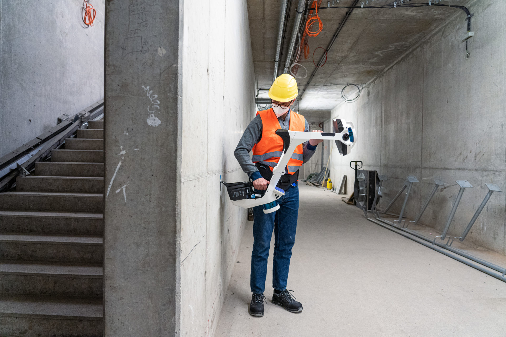
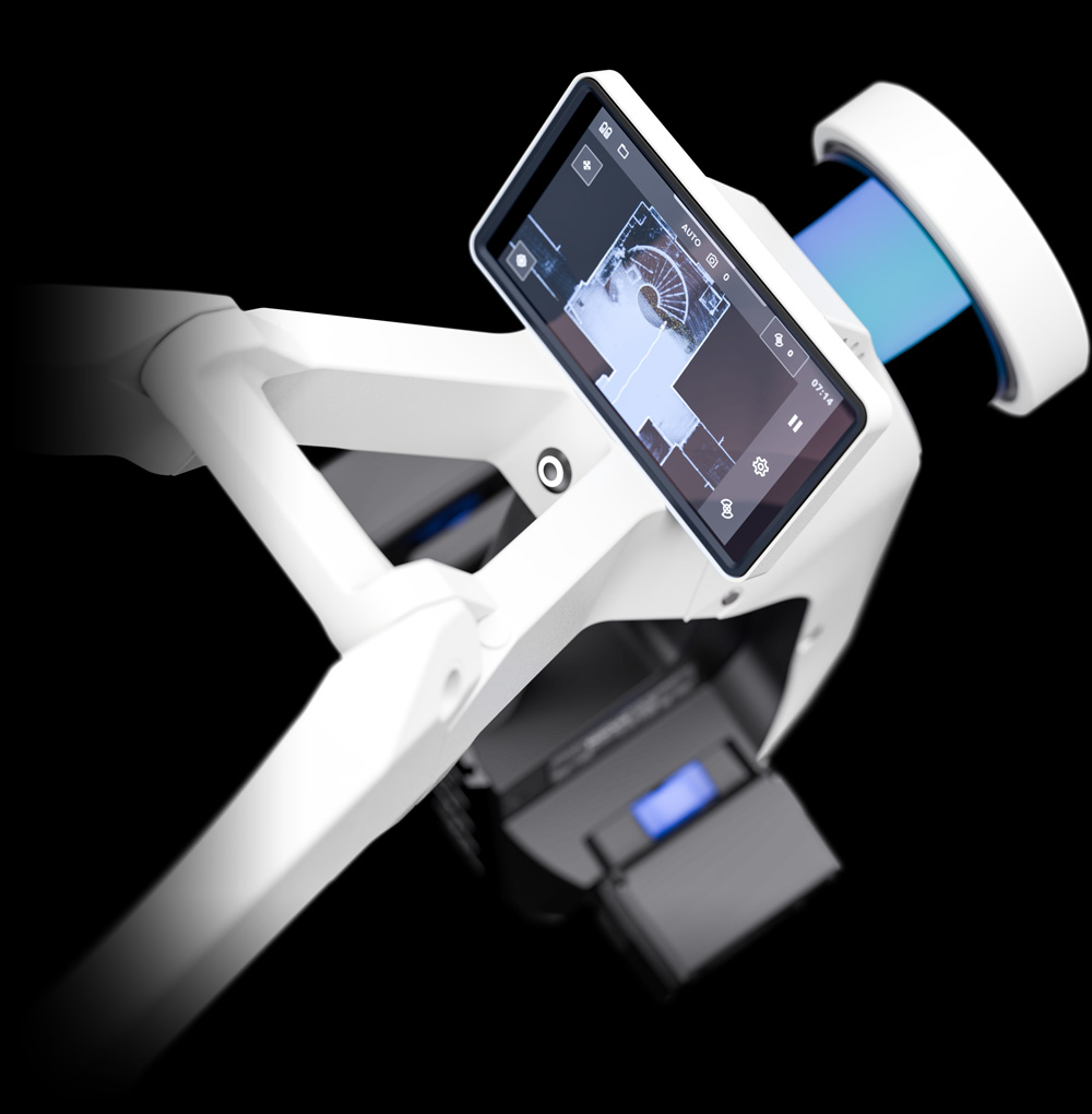
Luminous have recently invested in the Latest NavVis VLX mobile mapping solution. The NavVis VLX  is up to 10 times faster than a terrestrial laser scanner allowing rapid data capture across large sites.

Powered by precision SLAM technology the VLX is in a class of its own and will allow Luminous to offer a new fully managed data capture solution to our clients.

Digital mapping of a factory.

Survey grade point clouds

The VLX utilises two mutli layer LiDAR sensors in combination with industry leading SLAM software to deliver survey grade point cloud quality. Using four cameras positioned on top of the device it can take high resolutions images in every direction for compete 360 view.

The process is monitored though live mapping by the operator via a built in touch screen interface.

This first of its kind wearable scanning system allows the operator to comfortably scan at walking speed.